Otto Albrecht · 14 October 2026
Exploring Geological Fault Lines and Their Role in Shaping Water Flow Patterns Across Elevated Backcountry Routes
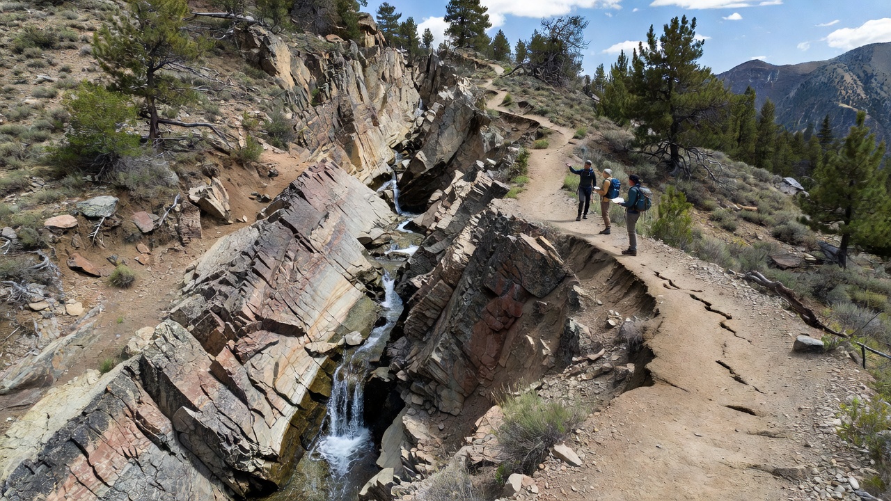
Geological fault lines form natural fractures in the Earth's crust and these features direct water movement in ways that reshape drainage across high elevation backcountry areas. Researchers note that such lines create zones of weakness where rock layers shift and break and water follows these paths because they offer less resistance than surrounding intact bedrock. Studies from mountain regions show that fault activity influences everything from spring locations to the paths of seasonal streams while backcountry routes often trace these same lines due to the terrain they produce.
Formation and Characteristics of Fault Lines in Upland Areas
Fault lines develop when tectonic forces stress rock formations beyond their breaking point and the resulting displacement creates pathways that water exploits over time. In elevated regions the process accelerates because freeze thaw cycles widen cracks and precipitation finds easy entry points. Data from the United States Geological Survey indicates that faults in the western ranges channel groundwater upward at rates that sustain surface flows even during dry periods and this pattern holds true across multiple watersheds.
Observers have documented how normal faults create steep scarps that divert runoff into linear depressions while strike slip faults produce offset channels that redirect streams sideways. These structural controls persist for millennia and they determine where hikers encounter reliable water sources along trails. Experts at the Geological Survey of Canada have mapped similar systems in the Rockies and their findings reveal consistent correlations between fault orientations and stream alignments in backcountry zones.
Mechanisms of Water Flow Modification
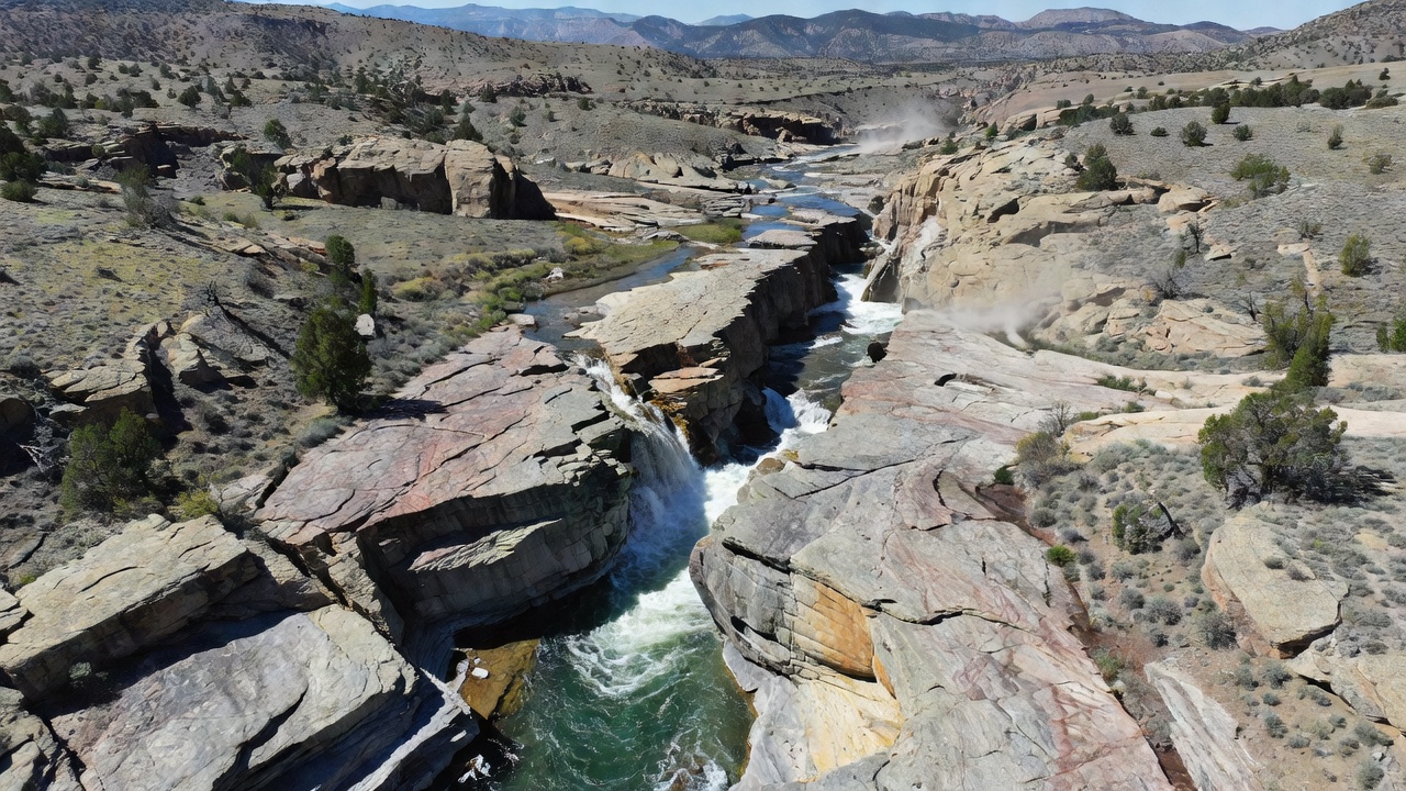
Water flow changes when it encounters fault gouge or fractured zones because permeability increases dramatically along these planes. Groundwater rises along the fault plane until it reaches the surface and forms seeps or springs that feed into higher elevation creeks. This process concentrates flow rather than allowing diffuse percolation and the result appears as defined channels that follow the fault trace for long distances.
Researchers discovered through tracer studies that water travels faster along faults than through matrix rock and this speed affects erosion rates on slopes. In backcountry settings the concentrated flow carves deeper incisions that become natural corridors for routes yet they also create hazards during heavy rain when discharge spikes. Evidence suggests that fault controlled springs maintain steadier temperatures which supports distinct aquatic communities in otherwise variable upland streams.
Regional Examples and Mapping Efforts
Take the Sierra Nevada where multiple fault systems guide snowmelt into linear basins that hikers follow each season. Mapping projects there combine LiDAR data with field measurements and they show how fault intersections produce the most reliable water points. Similar patterns appear in the European Alps according to studies conducted by research teams from several universities and the alignments help explain why certain passes stay wetter year round.
Backcountry route planners rely on these geological maps because they predict both water availability and potential trail instability. In Australia the Geological Survey has identified fault lines that shape arid upland drainages and these features create isolated water holes that support travel across otherwise dry plateaus. The connections between structure and hydrology hold across climates and they provide a framework for understanding why some elevated paths remain viable while others wash out.
Impacts on Route Planning and Environmental Monitoring
Trail maintenance crews monitor fault zones because movement along these lines can alter water flow overnight and reroute streams onto established paths. Monitoring equipment placed at key faults records microseismic activity that often precedes changes in spring discharge and this information feeds into seasonal route advisories. Those who study these systems note that vegetation patterns along faults serve as indicators of consistent moisture and they help identify sustainable camping spots near reliable sources.
Long term data collection through satellite imagery and ground sensors continues to refine models of how faults interact with surface water. In October 2026 updated datasets from international geological networks are expected to improve predictions for backcountry water availability during variable weather years. Such advances assist land managers in designating routes that minimize erosion while maximizing access to natural water features shaped by underlying geology.
Conclusion
Fault lines serve as primary controls on water distribution in elevated backcountry environments and their influence extends from spring emergence points to the overall drainage networks that define trail corridors. Continued research and mapping efforts provide the factual basis for understanding these interactions and they support safer more informed travel through complex terrain. The relationship between geological structure and hydrological patterns remains a central factor in how these landscapes function and evolve.