Otto Richter · 14 October 2026
Terrain Variations and Their Influence on Seasonal Wildlife Migration Routes in Upland Areas
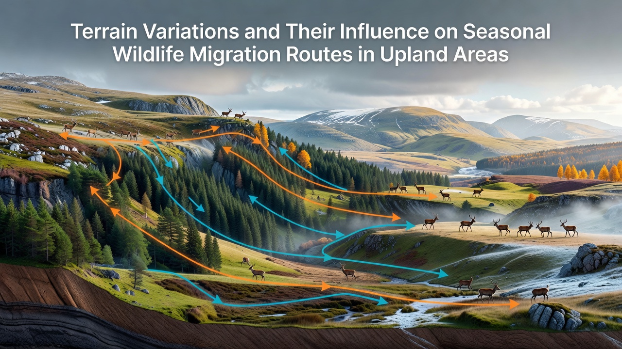
Observers note that upland regions present a complex mosaic of elevation changes, slope gradients and valley systems that directly shape how animals move between seasonal ranges, with data from multiple monitoring programs showing consistent patterns across continents. Researchers tracking large herbivores in mountainous zones have documented how animals adjust routes to minimize energy costs while accessing food sources that shift with temperature and precipitation cycles.
Key Terrain Elements in Upland Zones
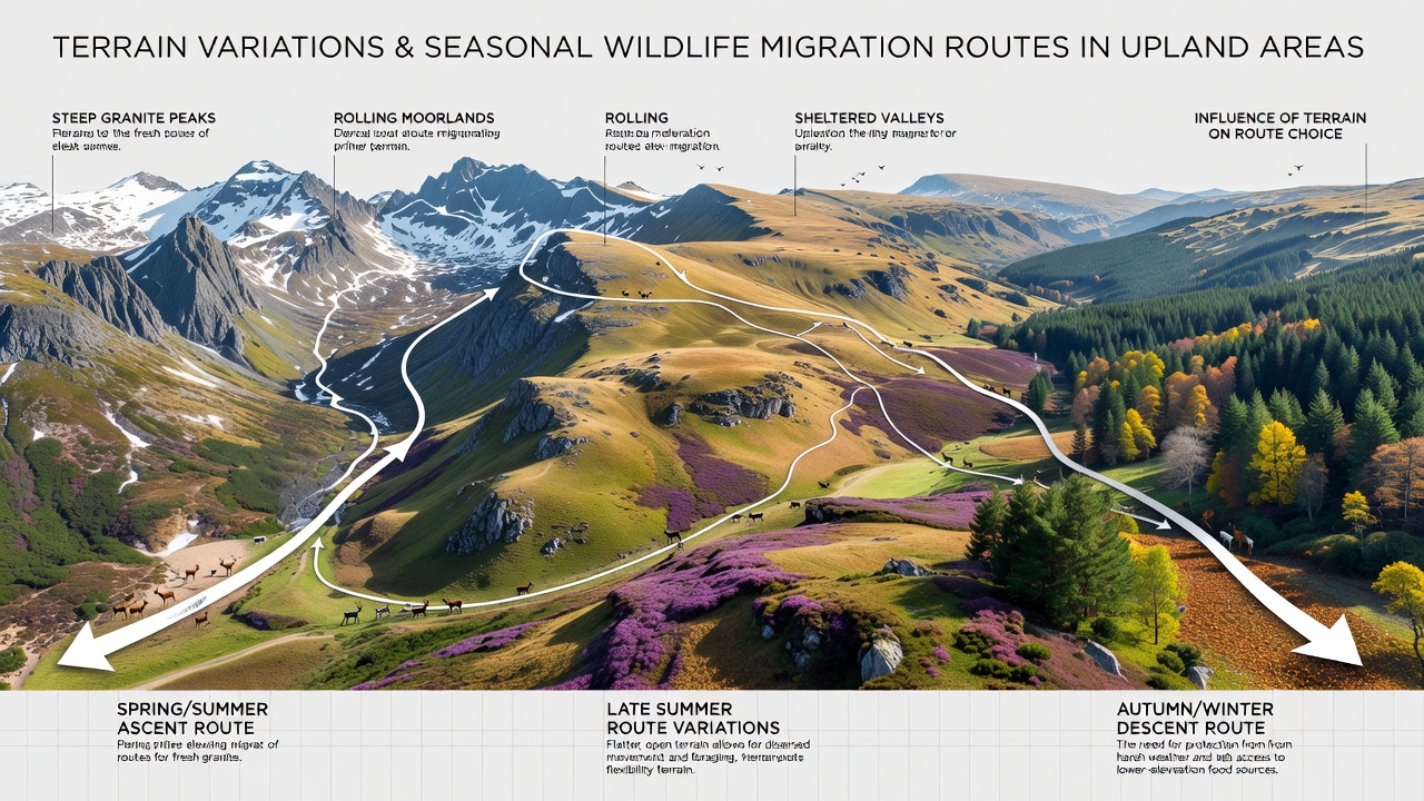
Steep escarpments and narrow saddles create natural funnels that concentrate movement, whereas broad plateaus allow more dispersed travel during periods when snow cover remains light. Valleys oriented along prevailing wind directions often stay clearer longer in autumn, giving species such as elk and bighorn sheep extended access to forage before higher elevations become inaccessible. Studies compiled by the United States Geological Survey reveal that slope aspect influences vegetation green-up dates by several weeks, prompting earlier migration starts on south-facing slopes compared with shaded northern exposures.
Rocky outcrops and talus fields add further constraints because they offer limited forage yet serve as important resting sites where predators are easier to detect. Data collected through October 2026 across several western North American ranges indicate that animals repeatedly select the same low-gradient corridors year after year, even when alternative paths appear shorter on maps.
Seasonal Timing and Route Adjustments
Spring migration typically follows receding snow lines as new growth emerges at progressively higher elevations, while autumn movements accelerate once heavy frosts reduce available nutrition and accumulating snow increases travel difficulty. Birds that nest in alpine meadows depart earlier than ground-dwelling mammals because they can cross ridgelines in flight, yet many still funnel through the same passes used by terrestrial species to conserve energy on long-distance flights. Camera-trap networks operated by wildlife agencies in both the Canadian Rockies and the European Alps have recorded overlapping use of these passes by multiple taxa during peak movement windows.
Precipitation events can temporarily block routes when rain triggers debris flows across narrow trails or when early snowstorms close high saddles. Animals respond by detouring along lower contours or waiting in sheltered basins until conditions improve, behaviors confirmed through GPS collar data spanning multiple years.
Regional Examples and Monitoring Findings
In the Southern Rockies, mule deer populations consistently skirt the steepest cirque walls and instead follow ancient game trails that parallel contour lines at mid-elevation. Similar patterns appear in the Australian Alps where macropods shift between subalpine grasslands and lower woodlands using the same valley systems each season. Research teams from the University of Alberta have mapped how linear features such as old logging roads sometimes align with natural terrain corridors, inadvertently facilitating or impeding movement depending on vegetation regrowth rates.
Climate-driven changes in snow duration have begun to alter traditional timing, with some herds initiating descent earlier in years when autumn storms arrive ahead of historical averages. Government agencies in New Zealand and Norway report parallel shifts among introduced and native ungulates respectively, underscoring how terrain and weather interact across different biogeographic settings.
Implications for Conservation Planning
Land managers increasingly incorporate high-resolution terrain models when designating protected corridors, recognizing that even small alterations to ridgeline or valley floor conditions can redirect entire populations. Connectivity analyses performed by Environment and Climate Change Canada demonstrate that maintaining low-gradient linkages between seasonal ranges supports higher survival rates during years with extreme weather. These models integrate LiDAR-derived elevation data with long-term telemetry records to predict pinch points where development or recreation pressure could sever established routes.
Conclusion
Terrain variations in upland areas function as both barriers and guides that determine the efficiency and safety of seasonal wildlife migrations, with elevation gradients, slope orientation and valley networks interacting with weather patterns to shape movement timing and path selection. Continued monitoring across multiple regions supplies the evidence needed to maintain functional corridors as environmental conditions evolve.